Thinking about Baywood for your next home and wondering how the commute will feel day to day? You are not alone. With jobs spread between San Francisco and Silicon Valley, you want clear answers on trains, shuttles, traffic, and where you can walk for errands. In this guide, you will learn how Baywood fits into the regional network, what door-to-door trips look like, and how location inside the neighborhood changes your experience. Let’s dive in.
Baywood on the map
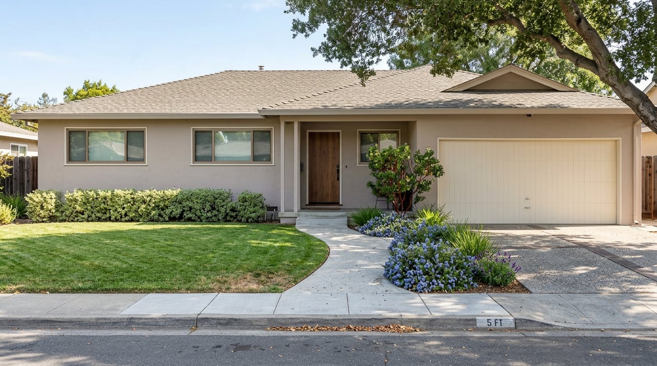
Baywood refers to several residential pockets on the west side of San Mateo that are often grouped with Downtown San Mateo and Central Park for daily errands and Caltrain access. Local planning documents use Baywood and related names like Baywood Park and Baywood–Parrott Park to describe these blocks, generally inside ZIP 94402 and close to downtown services. That proximity matters if you want to walk to coffee, groceries, or the train. You can see this naming and context in City of San Mateo neighborhood materials.
A practical tip as you compare homes: the commute story shifts by micro-location. Homes a few blocks from Downtown San Mateo often enjoy stronger walk and rail access. Interior streets feel more suburban, where you will likely rely on a short drive or bus for transit connections.
Your rail options
Caltrain to San Francisco and the Peninsula
Caltrain is the core rail option for most Baywood residents. The closest stations are Downtown San Mateo and Hillsdale. Service type matters because local, limited, and express runs have different stop patterns and speeds. Many commuters combine a short shuttle or bus ride with the train, especially from Foster City and southern Baywood areas. You can review current shuttle connections on the Caltrain station shuttles page.
Reaching BART at Millbrae
If your work pulls you into downtown San Francisco via BART or toward the East Bay, Millbrae is the main intermodal hub that links BART and Caltrain. Foster City operates commute-hour shuttle connections that help residents reach Millbrae without a long drive. Check the city’s transportation contacts page for current shuttle options to BART and Caltrain at Foster City transportation contacts.
SamTrans buses and express options
SamTrans connects Baywood and Foster City with local and express routes. The ECR runs along El Camino Real, and other routes serve Foster City neighborhoods and business parks. Peak-only patterns are common, and route numbers or schedules may change. Always confirm with the latest SamTrans schedules and maps.
What to expect for transit times
Transit is usually a two-step trip from many Baywood addresses. Plan on a short bus, shuttle, or drive to a nearby station such as Hillsdale or Millbrae, then the rail leg. Typical door-to-door times to central San Francisco range from about 50 to 70 minutes depending on your origin, connection timing, and train type. Some published itineraries show sample multi-leg trips near the lower end of that range. If you can walk to Downtown San Mateo Caltrain, you often cut 10 to 20 minutes by skipping the first leg.
A few quick scenarios to help you plan:
- Baywood near Downtown San Mateo: Walk to Caltrain, board a limited or express, and aim for the shorter end of the range if transfers are smooth.
- Baywood interior or Foster City side: Use a shuttle or SamTrans route to Hillsdale or Millbrae, then rail. Time your connection to avoid long platform waits.
- East Bay commuters: Use the Foster City shuttle network to Millbrae BART, then ride into the East Bay. Timing varies with shuttle headways and BART frequency.
For bigger picture expectations, the mean travel time to work for Foster City residents sits around 29 to 30 minutes, according to U.S. Census QuickFacts. Your exact door-to-door time will vary with connection quality, train type, and the time of day.
Driving realities
Key roads and access
Baywood and Foster City benefit from strong highway access. You can reach US 101 for north-south trips, CA 92 for east-west and San Mateo Bridge access, and I 280 a bit farther west for an alternative north-south corridor. These links make it relatively straightforward to reach downtown San Francisco, SFO, and Peninsula job centers.
Typical drive times and variability
Driving times change a lot by hour. Off-peak, trips to nearby job centers are often short. During peak periods, plan for slower speeds and bottlenecks along US 101.
- Redwood City: Often a short drive, roughly 10 to 20 minutes under typical conditions. See estimated examples between Foster City and Redwood City in distance tools.
- Palo Alto and central Silicon Valley: Commonly 15 to 30 minutes off-peak, longer at rush hour. Reference examples for Foster City to Palo Alto in route distance estimates.
- Downtown San Francisco: Frequently 45 to 60 minutes or more during peak windows, given merge points and corridor demand. The Census 29 to 30 minute mean is a citywide baseline, not a peak-hour downtown benchmark.
For day-of accuracy, check live navigation before you leave and compare driving to the rail option when traffic on US 101 spikes.
Walkability and errands
Block-by-block walk scores
Walkability in Baywood is not one-size-fits-all. Addresses close to Downtown San Mateo and the Caltrain station show higher walk and transit scores in snapshot tools, while inner-residential streets read more car dependent. A sample address demonstrates this range in Walk Score results. Always confirm on foot or by mapping a few typical errands.
Errands, dining, and weekends
Many Baywood homes sit within a short walk or quick drive to Downtown San Mateo for groceries, dining, and Central Park. Hillsdale Shopping Center is another regular stop for retail and services. For fresh air and waterfront time, Foster City’s lagoon system and parks offer easy outdoor options. A standout is Leo J. Ryan Memorial Park, which features a boardwalk, amphitheater, and water access, described on the park’s overview page.
Which micro-location fits you
- Closer to Downtown San Mateo: You value walking to coffee, Central Park, and Caltrain. Your commute likely leans rail-first.
- Interior Baywood streets: You prefer quieter residential blocks and larger lots. Expect a quick drive or short bus ride for groceries and transit connections.
- Near the Hillsdale or Bay Meadows corridor: You want easy access to shopping and a direct shot to Hillsdale Station.
A quick decision guide
Use this short checklist to match your address to your commute and lifestyle:
- Define your primary commute. Is it SF, Redwood City, or Palo Alto, and how many days per week are on-site?
- Choose your mode first. If you want rail-first, focus on walkable pockets near Downtown San Mateo or reliable shuttle access to Hillsdale or Millbrae.
- Time your door-to-door. Run a weekday test during your actual commute window, including parking or transfer time.
- Map your errands. Check how many daily stops you can walk to versus drive, and note evening safety and lighting on your preferred routes.
- Plan for flexibility. Keep a backup plan for days when US 101 is heavy, a Caltrain run is local-only, or a shuttle connection is peak-only.
The bottom line
Baywood works well for many commuters because it straddles strong highway access and practical rail connections. If you pick a spot near Downtown San Mateo, you can walk to Caltrain and simplify the trip. If you are deeper in the neighborhood or on the Foster City side, the two-step commute with a shuttle or bus plus rail is very manageable when you plan connections. Keep your specific origin, station access, and time of day front and center, and you will set realistic expectations from day one.
Ready to tailor this to your exact address and schedule? Connect with Benjamin Chirko for a local plan that balances commute, lifestyle, and neighborhood fit, then request your no-surprises consultation.
FAQs
Can you reach San Francisco by transit from Baywood in under an hour?
- Often yes, especially if you can walk to Downtown San Mateo Caltrain or make a timed shuttle to Hillsdale or Millbrae. Typical door-to-door trips run about 50 to 70 minutes depending on transfers and train type, as illustrated by sample multi-leg itineraries and supported by Caltrain shuttle connections.
What are the nearest train stations to Baywood?
- Downtown San Mateo and Hillsdale are the closest Caltrain stations for most Baywood addresses. Many riders use a short bus, shuttle, or drive to reach the platform, per the Caltrain station shuttles overview.
Is there a shuttle from Foster City to BART at Millbrae?
- Yes. Foster City supports commute-hour shuttles that connect to Millbrae for BART and Caltrain transfers. Check current options on the city’s transportation contacts page.
How long does it take to drive from Baywood to Redwood City or Palo Alto?
- Under typical conditions, plan around 10 to 20 minutes to Redwood City and 15 to 30 minutes to Palo Alto off-peak, with longer times in rush hour. See estimated examples for Redwood City and Palo Alto.
How walkable is Baywood for daily errands?
- It varies by block. Addresses close to Downtown San Mateo and El Camino Real tend to have higher walk and transit scores, while interior streets are more car dependent. Check an address-level snapshot like this Walk Score example.
